Utility asset inspections
Document poles, substations, corridors, and hard-to-access infrastructure with a repeatable field record built for engineering review.

 MOVEMENT MOTIONTECHNOLOGIES
Reality capture for critical infrastructure
Movement Motion Technologies transforms real-world assets and complex sites into precise, secure digital records for engineering, inspection, informed field decisions, project planning, and recordkeeping.


Start a project
A controlled path from field to decision
We work with you to define the assets to capture, your project goals, site access requirements, accuracy expectations, and required deliverables.
We develop a project-specific field plan using the appropriate combination of aerial imagery, ground-based capture, LiDAR, and thermal imaging.
We process, check, and organize field data to create practical deliverables for engineering and inspection.
Your team receives secure online access, along with the agreed-upon data exports, reports, and source files for use in your workflows.
Solutions engineered for infrastructure
Document poles, substations, corridors, and hard-to-access infrastructure with a repeatable field record built for engineering review.
Combine aerial and ground-based capture to create a spatially accurate record of existing conditions for remote review and coordination.
Turn field data into navigable digital twins that show site conditions, support recordkeeping, and make asset information easy to share across teams.
Give approved stakeholders browser-based access to models, measurements, reports, and source files without specialized desktop software.
Industries we have served

Field documentation of distribution assets, substations, transmission corridors, vegetation, and storm response activities.
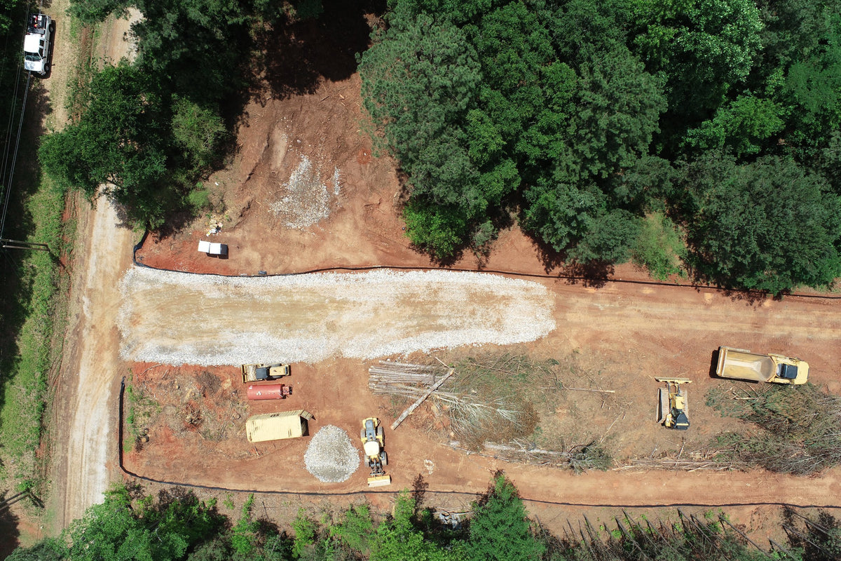
Documentation of roadway corridors, bridges, drainage systems, site conditions, and construction progress.
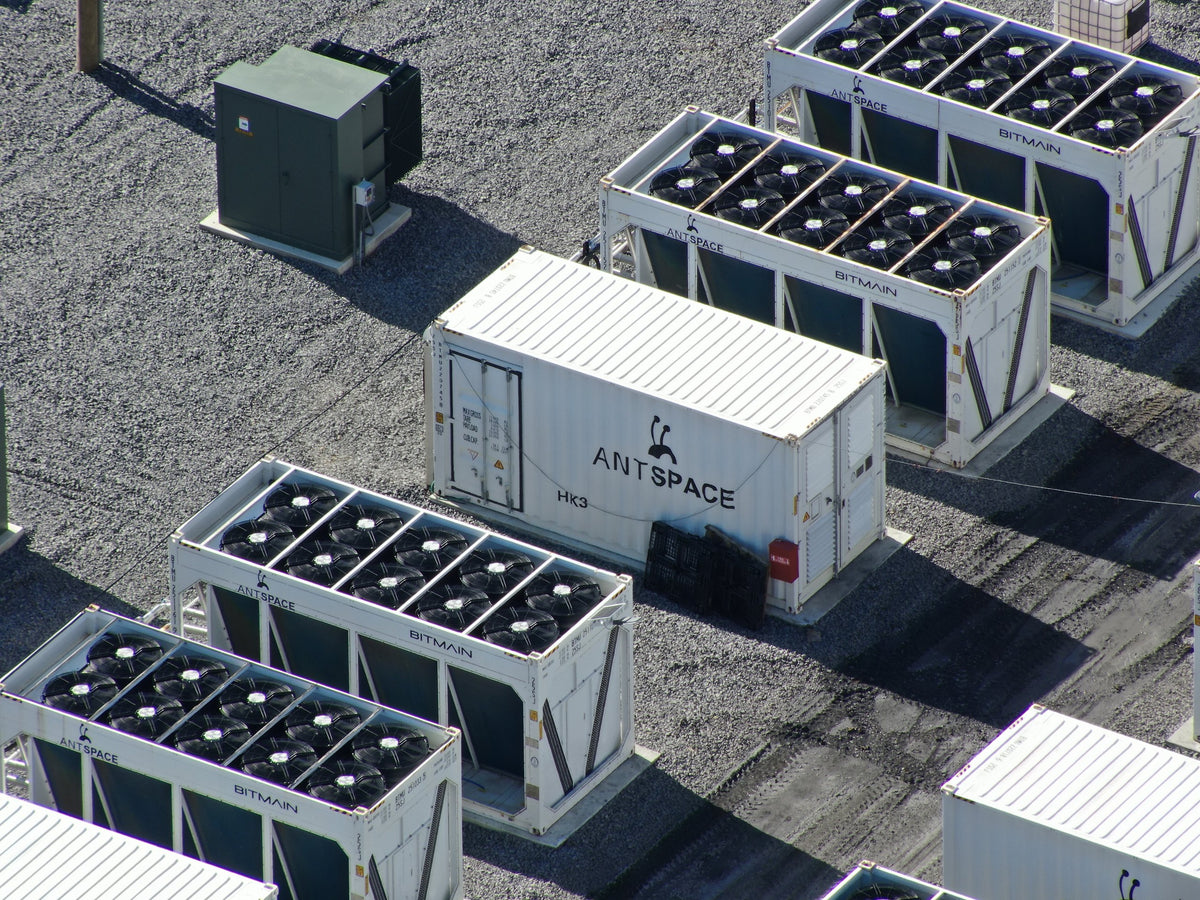
Exterior and interior documentation for retrofit planning, inspections, and remote collaboration.
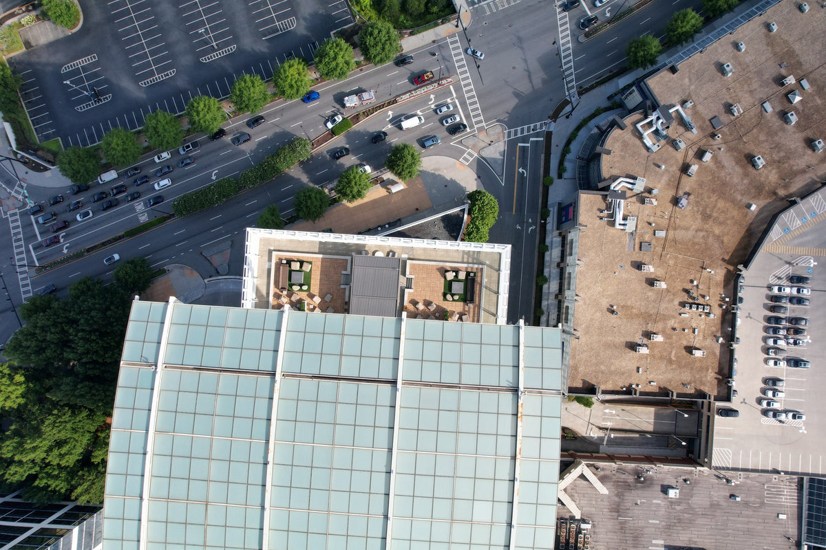
Existing-condition documentation, as-built records, volume measurements, construction progress tracking, and BIM coordination.
Digital twin demo
Select an asset type, then review its model layers and engineering context.
 A-104 StructureC-018 Clearance
Illustrative preview only. Commercial building RGB and infrared capture demonstration coming soon.
How it works
Tell us which assets need to be inspected and where they are located.
Select the deliverables your project needs, from high-resolution photos and screen recordings to 3D models, reports, and engineering-grade data exports.
Receive a project plan, schedule, and clear cost estimate based on your requirements and selected deliverables.
Access your measurements, annotations, and project deliverables through a secure online portal, available 24/7 for sharing and collaboration.
An asset record built for engineering teams, with browser-based access to measurements, annotations, and engineering-ready data exports.